
In partnership with

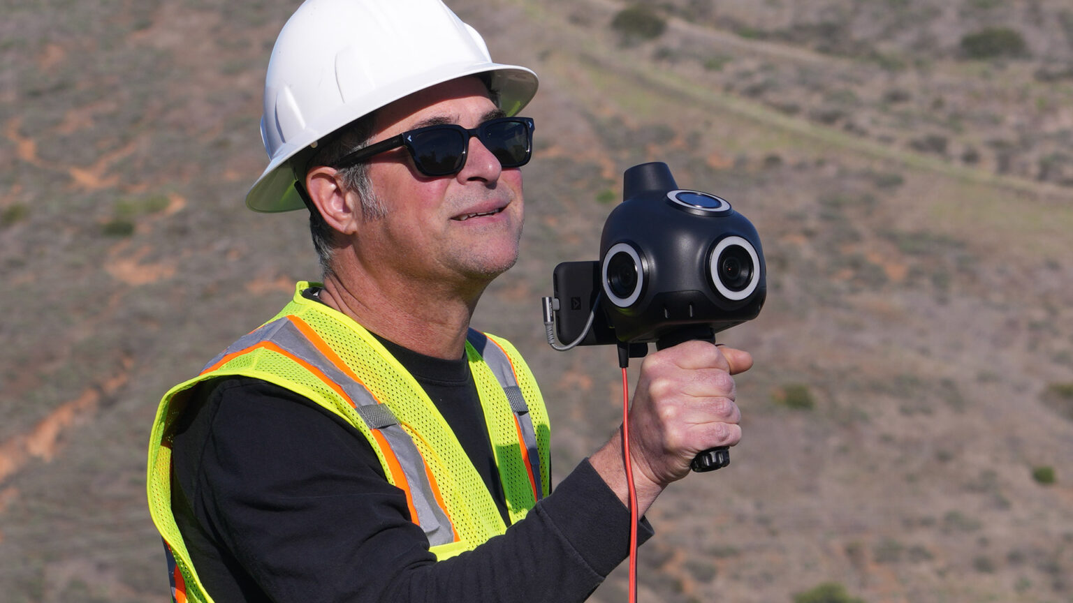
Looq AI offers an integrated hardware-software solution, powered by a proprietary qCam (hand-held photogrammetry camera with GNSS & IMU)—that captures spatial data and transforms it into accurate, survey-grade digital twins.
Processed via the cloud using AI, the output includes 3D point clouds, 2D composites, semantic classifications, and exportable assets ideal for planning, inspection, and modelling across civil and utility infrastructure.
Target users include civil and utility engineers, surveyors, infrastructure owners, and asset managers. Looq’s AI processes raw photogrammetry data into survey-grade 3D models through automated PPK (Post-Processed Kinematic) corrections, semantic segmentation, and classification of critical infrastructure elements.
It generates labelled 3D meshes, vector exports, panoramas, and GIS-compatible data with minimal manual input.
The AI Spotlight Directory is published by AEC Magazine in partnership with HP and Nvidia.