

In partnership with

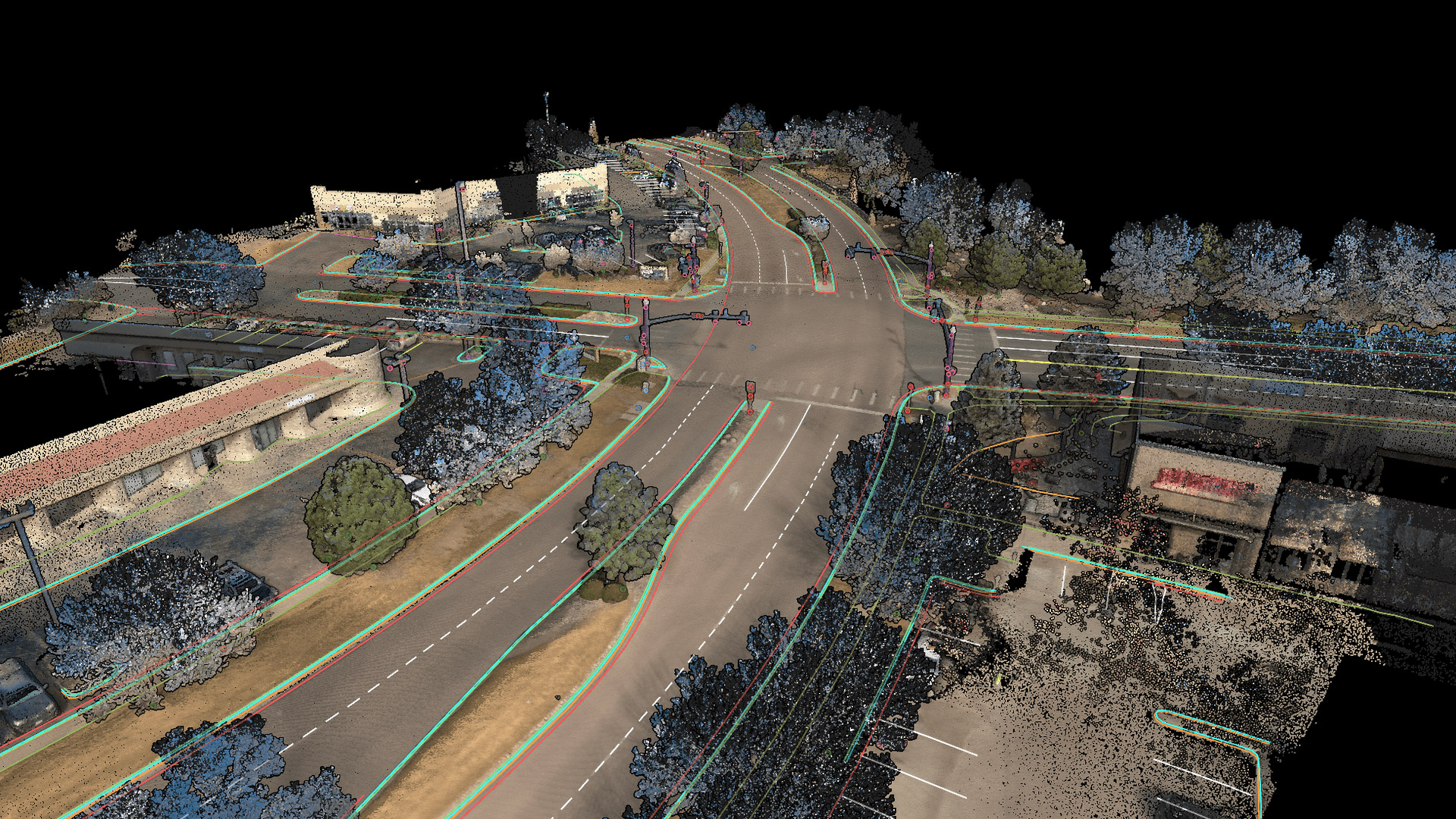
Mach9 is an AI CAD software for civil engineering designed to turn reality capture data from a variety of scanning systems – vehicle, terrestrial, drone, or handheld – into engineering-ready CAD drawings.
Civil engineering and surveying teams upload point clouds of roads, utilities and construction sites and Mach9 then automatically drafts physical features like curbs, signs, poles, lane markings and wires with what the company describes as centimetre-level accuracy. Surveyors and engineers review, refine and finalize the drawings using Mach9’s editing tools. Data can be exported as schema-aligned CAD and GIS deliverables, including DWG, DXF, Shapefile, Geodatabase, and more.
Customers include civil engineering firms WSP, HNTB and NV5 and transportation agencies such as Caltrans, Minnesota DOT and the Maryland State Highway Administration.
The AI Spotlight Directory is published by AEC Magazine in partnership with HP and Nvidia.
